The DAAHL is a searchable, browseable compendium of data from Google Earth, Google Maps, Geographic Information Systems and up to date archaeology of what are today Israel, Palestine, Jordan, southern Lebanon, Syria and the Sinai Peninsula.
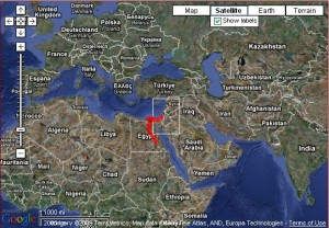
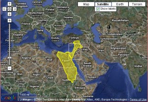
It’s still a work in progress, but you can already find all kinds of really neat things. Say, for instance, you want to see maps of the various empires that have claimed the area over the years. Just clicky here, choose the empire in the dropdown box and voila. Or even more entertaining, click on the Animate Empires button to see them all in succession.
Predynastic Egypt was tiny! I had no idea it was such a shrimp compared to New Kingdom Egypt.


Then there’s the Archaeological Periods map. Here too you can select periods or animate them all, and you’ll see the site locations where artifacts from those periods have been found. All the maps are zoomable, so you can click in for a closer view on these smaller locations.
If you have the Google Earth plugin — which you should get only for this if for no other reason — you can view artifacts in 3D in the Online Virtual Museum. The list of scanned artifacts is still very small, but they’re working on it.
Think of the possibilities here for all museums. They could digitize their entire holdings allowing people the kind of detailed closeup view that security in real life museums never allows. They could also virtually display their huge caches of items in storage.
It’s the wave of the future, y’all. Virtual reality without the dorky helmet.